Ground-penetrating radar | Georadar
Ground-penetrating radar for safe route and infrastructure projects
Request a consultation now
Ground-penetrating radar for safe route and infrastructure projects
Request a consultation nowGround-penetrating radar, also known as georadar or Ground Penetrating Radar (GPR), is a non-destructive measurement technique used to investigate the subsoil close to the surface. For energy and infrastructure projects, it provides high-resolution, georeferenced information on existing structures, utility lines and potential areas of conflict along planned routes.
The data obtained enables us to lay the foundations for well-informed decisions right from the early stages of a project. This helps to streamline planning processes, support approval procedures and reduce technical and financial risks.
Whether power lines, gas pipelines, hydrogen networks, district heating networks or telecommunications infrastructure: ground-penetrating radar supports data-driven and forward-looking infrastructure planning.
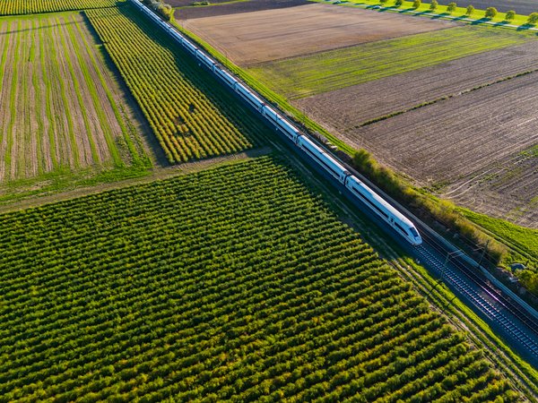
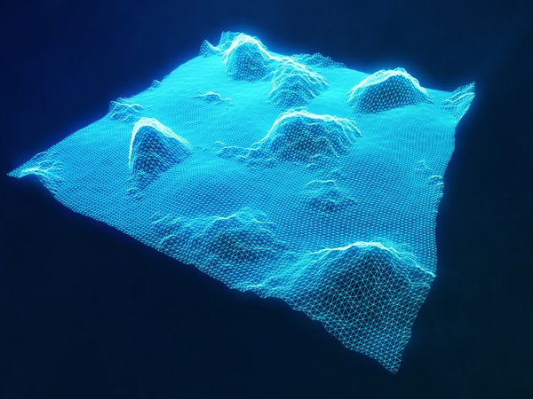
For utility and infrastructure projects, ground-penetrating radar enables the continuous survey of planned route corridors. The georeferenced measurement data is processed into digital models of the subsurface close to the ground and prepared for technical planning.
To ensure a reliable assessment, we cross-check the results, where necessary, against existing documentation, survey data and supplementary geotechnical investigations.
Once the survey area has been defined, georeferenced data collection takes place along routes or within defined project areas. Our experts then analyse the measurement data, interpret any anomalies and incorporate the results into the subsequent planning.
Supplementary probing, surveying or geotechnical investigations can expand the data set. This results in a robust digital subsurface model that brings together technical, spatial and geotechnical information within a consistent database.
The result: greater transparency, greater planning certainty and more efficient project development.
The data obtained using ground-penetrating radar can be seamlessly integrated into existing digital planning environments.
By integrating into established planning processes, consistent information is made available to all project stakeholders for planning, approval, construction and subsequent asset management.
As well as route surveying, ground-penetrating radar is suitable for investigating roads, paths and other paved traffic areas. High-speed measurement systems enable large sections of road to be surveyed cost-effectively, often without significantly disrupting traffic flow.
The results support well-informed decisions on refurbishment, extension and maintenance measures and contribute to efficient maintenance planning.
The added value of modern ground-penetrating radar surveys lies not only in data collection, but in the combination of expert interpretation and digital integration. This ensures that important subsurface data is available at an early stage for GIS, CAD and BIM applications, and forms the basis for well-informed infrastructure decisions.
Christian Holst
DMT Engineering Surveying GmbH & Co. KG
Ground-penetrating radar complements surveying, geoinformation and geotechnical investigation methods, enabling a comprehensive assessment of the subsoil. When combined with other investigation methods, it provides a reliable information base for the planning, approval, construction and operation of infrastructure projects.
As part of an integrated investigative approach, ground-penetrating radar supports the safe, efficient and sustainable development of modern energy and transport infrastructure.
We can assist you with the planning, execution and interpretation of ground-penetrating radar surveys for infrastructure, energy and pipeline projects. Please contact our ground-penetrating radar expert directly.
Christian Holst
DMT Engineering Surveying GmbH & Co. KG
+49 160 8882997
Ground-penetrating radar, also known as georadar or Ground Penetrating Radar (GPR), uses electromagnetic signals to carry out non-destructive investigations of the subsoil close to the surface. The measurement data enables the identification of structures, utility lines and geotechnical anomalies.
Depending on ground conditions, burial depth and material properties, indications of cables, pipes, utility lines and other underground objects can be identified.
Ground-penetrating radar is suitable for use in, amongst other things, power lines, gas pipelines, hydrogen networks, district heating networks, telecommunications infrastructure, and transport and civil engineering projects.
Yes. The data can be processed with georeferencing and integrated into GIS, CAD, BIM and route-planning systems. This ensures that consistent information is available to all project stakeholders.
Ground-penetrating radar provides early insight into existing utility lines, potential areas of conflict and geotechnical anomalies. This improves planning reliability, supports approval processes and reduces risks during construction.