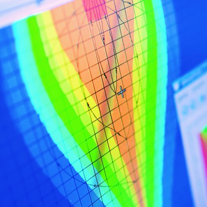
DMT develops and calibrates numerical models that can be used to analyse, simulate and forecast complex hydrological and hydrogeological relationships. On this basis, we create various scenarios to reliably assess the impacts of planned measures, natural changes or long-term developments on groundwater, mine water and surface water.
Our models enable us to draw conclusions about temporal and spatial changes in groundwater, mine water and surface water – even in the case of complex issues that can no longer be adequately described using traditional calculation or assessment methods. They support public authorities, mining companies, infrastructure operators and industrial enterprises in identifying risks at an early stage, safeguarding investments and implementing sustainable solutions.
By closely integrating hydrogeology, hydrology, hydrogeochemistry and mine water management, we provide a holistic view of water-related issues. Modern modelling techniques, digital data analysis and interdisciplinary expertise enable robust forecasts for complex systems.

Holger Stubbe
Hydrogeology & Water Management
I look forward to receiving your enquiry regarding modelling; together we will find the best approach for your project.
+49 160 8884495
Modelling is particularly useful when the impacts of a project need to be assessed in advance. It provides support for complex issues that cannot be addressed using traditional calculation or assessment methods, or can only be addressed at considerable additional cost.
Modelling is a key tool for addressing almost all hydrogeological and hydrological issues; however, depending on the specific issue, setting up a model can be very time-consuming. Models are therefore only considered when the benefits of a model calculation are proportionate to the issue under consideration.
The validity of a model depends heavily on the quality of the available data and the underlying assumptions, as well as on the model being precisely tailored to the research question at hand. A reliable model forecast is therefore always based on a thorough analysis and a deep understanding of the system to be modelled. By defining suitable calibration criteria, carrying out the calibration itself and, where necessary, subsequently validating the model against measured data, it is ensured that the model possesses the accuracy required for the research question and is suitable for robust forecasts.
The data required for modelling depends heavily on the type and purpose of the model to be created. The basis is usually provided by geological, hydrological and hydrogeological data, as well as measurements taken from the project area. The better the data set, the more accurately the system can be modelled.