The engineering services provider DMT Engineering Surveying GmbH & Co. KG (formerly Dr.-Ing Wesemann Ges. für Ingenieurgeodäsie mbH) is a geotechnical systems provider for infrastructure projects and has been part of the DMT GROUP since 2015.
Implement infrastructure projects successfully now

Drawing on our experience since 1963, engineering expertise and innovative technologies, we lay the foundations for the safe, efficient and sustainable implementation of complex pipeline and route projects. From site surveys and planning, through the acquisition of rights, to the documentation of construction progress and site supervision, you receive integrated services from a single source and a dedicated point of contact.
Stefan Kruse
Managing Director, DMT Engineering Surveying
I look forward to hearing from you regarding how we can best support your project. Please feel free to get in touch!
+49 2325 6376 210
We operate both nationally and internationally, working from our branches in Hamburg, Herne and Eisenach.
Please use our contact form to let us know what you need. We look forward to hearing from you!
DMT Engineering Surveying plans, surveys and supports modern infrastructure projects. Our services include route engineering, engineering surveying, geoinformation, land acquisition and industrial surveying.
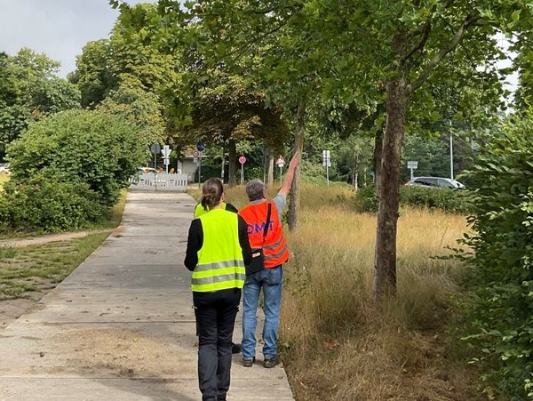
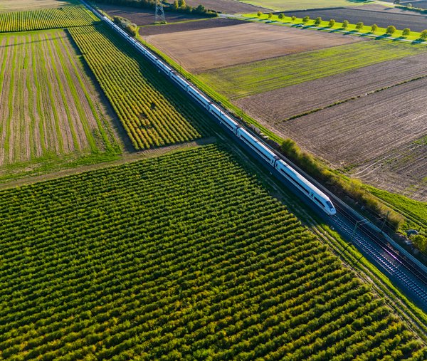
We support network construction projects for electricity, gas, water, heating and telecommunications. In doing so, we oversee pipeline and route projects from the initial survey right through to construction supervision.
Route engineering involves the technical planning and preparation of route alignments. We establish robust planning foundations, take into account technical, spatial and project-specific requirements, and support efficient implementation.
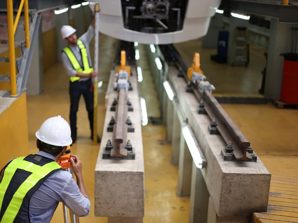
Engineering surveying provides precise spatial data for planning, construction and documentation. Among other things, it supports site surveys, setting-out, control measurements and the documentation of construction progress.
The acquisition of legal rights secures the necessary rights of use for land and plots along a planned route. We provide structured support throughout this process, thereby laying an important foundation for the implementation of network construction projects.
Geoinformation consolidates, organises and visualises spatial project information. This ensures that planning, surveying and construction data are made available in a transparent manner and can be used to inform sound decisions.