Engineering surveying for infrastructure and construction projects
Precise geospatial data for planning, construction and operation
Request advice on engineering surveying
Precise geospatial data for planning, construction and operation
Request advice on engineering surveyingEngineering surveying provides the precise geodata required for the successful planning, implementation and documentation of infrastructure and construction projects. DMT supports public and private clients throughout the entire project lifecycle by providing reliable survey data to enable sound decision-making and smooth project processes.
We survey terrain, structures and technical infrastructure, create digital foundations for CAD, GIS (Geographic Information Systems) and BIM (Building Information Modelling) processes, and document changes in a traceable and legally compliant manner.
Our services range from the planning and design phase, through surveying during construction, to the as-built documentation of existing facilities.
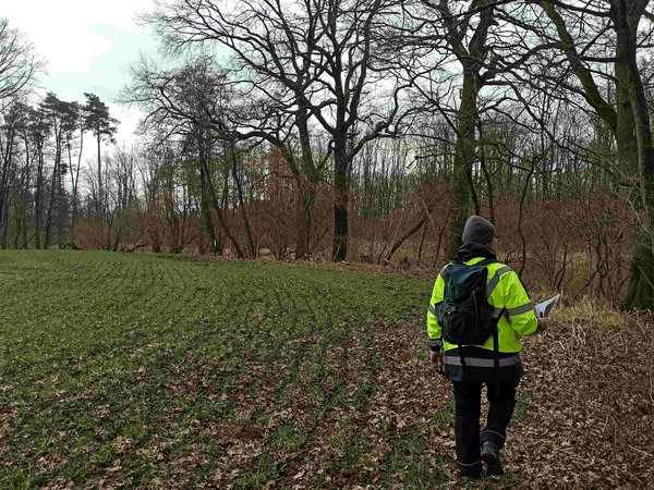
A reliable data set is essential for cost-effective and safe infrastructure projects. We carry out precise surveys of existing conditions and process the resulting geodata for planning, route alignment, approval procedures and digital models.
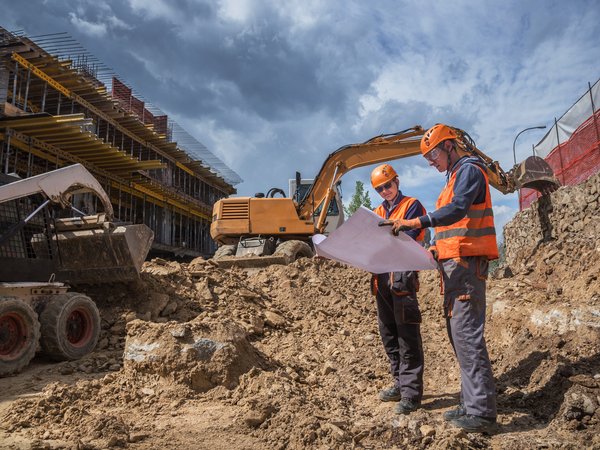
During the construction phase, we translate the design data accurately into reality. Regular checks and monitoring measurements support quality assurance and provide transparency regarding the progress of the build.
By identifying deviations at an early stage, risks can be minimised and project objectives efficiently safeguarded.
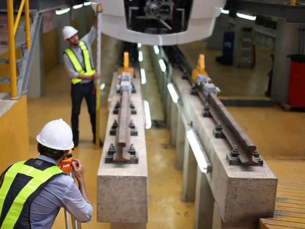
Geodetic surveys document the condition of structures, transport routes and terrain before, during and after construction works. The data collected ensures transparency, supports technical assessments and provides a verifiable basis for project documentation.
This ensures that changes are recorded objectively and documented in a way that can be traced over the long term.
Up-to-date asset data forms the basis for the safe operation, alterations, extensions and refurbishment of existing infrastructure.
Using modern surveying technologies, we record the actual condition of structures, transport routes and technical installations precisely and efficiently.
The data collected can be integrated directly into existing planning, operations and maintenance processes.
Depending on the task at hand, we combine tried-and-tested and digital surveying methods to efficiently map individual structures, extensive routes or complex technical installations.
We process the results as required for CAD, GIS and BIM applications, as well as for digital documentation and asset management systems.
DMT surveyed and documented extensive infrastructure assets for the upgrade of the railway line between the German-Dutch border and Oberhausen. The geodata obtained served as the basis for further planning and project development.
Client at the time the contract was awarded: DB Netz AG
Construction of a combined sewer treatment plant and a four-kilometre-long sewer network
DMT carried out comprehensive preliminary, monitoring and evidence-preservation surveys for pipe jacking operations and sewer structures. In addition, as-built surveys of the sewer networks and topographical surveys of restored areas were carried out.
Using 3D laser scanning, 27 manholes and structures were digitally recorded and documented.
Client: Emschergenossenschaft
We support your project from the initial data collection through to surveying during construction and digital as-built documentation, and provide you with precise geospatial data to help you make confident decisions.
Roman Mesecke
DMT Engineering Surveying GmbH & Co. KG
+49 160 8884453