
In this case crews deployed a seismic source that weighed over 250 pounds. The seismic source was kept buoyant as it was pulled behind the boat by 3 small pontoons.
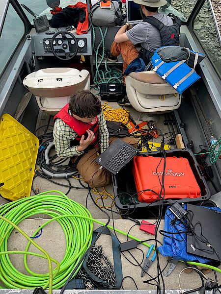
Bodies of water can present a particularly challenging environment to acquire data for site characterization. As well as seismic methods, we provide a range of water-borne geophysical surveys that help to provide information where other forms of data acquisition are limited.
The crews will be out again later this month collecting resistivity data on the river.
For more information on marine geophysics contact Ross.Penner(at)dmt-group.LÖSCHEN.com
